
Example
Sample data and configuration can be downloaded from example folder at fmm github repo.
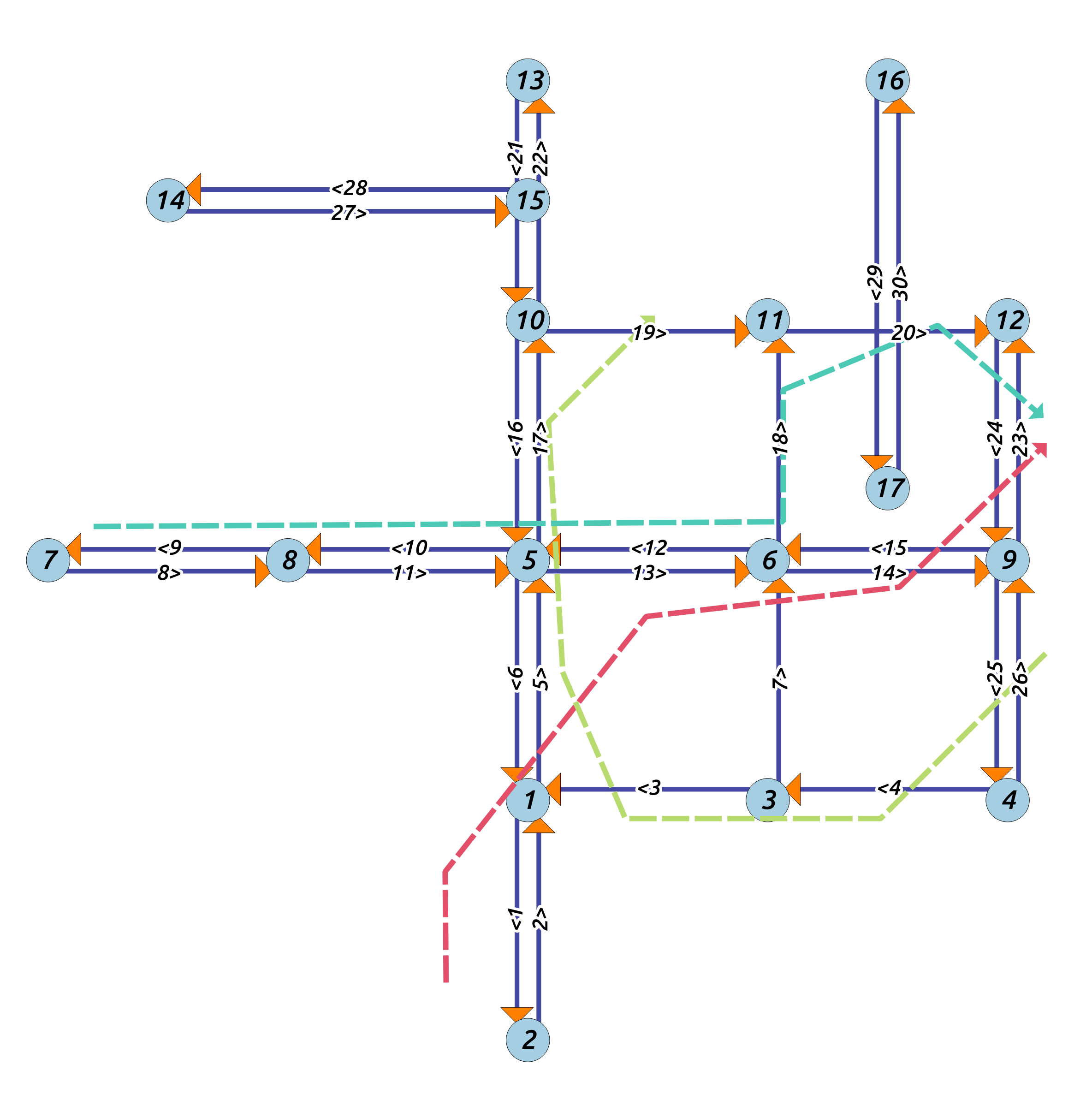
- Road network:
data/edges.*: the road network shapefile where each feature stores an edge with id, source node, target node - GPS trajectory:
data/trips.*: the GPS data can be stored as a Shapefile or CSV file.- Shapefile: a GPS trajectory file where each feature stores a line representing a noisy GPS trajectory
- CSV: a CSV file, where each rows stores a wkt linestring.
- Configuration:
*_config.xml
To run map matching on the example data, please to refer to the command line program page.